
CUSTOMER CASE: FOREST HEALTH ANALYSIS IN THE FORESTS OF RIIHIMÄKI
Since 2024, KOKO Forest has carried out dead tree mapping in forest areas owned by the City of Riihimäki. Using satellite and aerial imagery, the analysis provides forest-stand-level data on the number, crown area and volume of dead trees.
Annual monitoring makes it possible to track changes in tree mortality and identify areas where changes warrant further assessment. The results support forest management planning and forest damage risk management.
The location data on dead trees also helps assess potential safety risks near recreational trails and other frequently used areas. By combining information on tree mortality with land use and local conditions, the city can better target field inspections and appropriate management measures. The data also supports nature conservation planning, where dead wood plays an important role in maintaining biodiversity.
Combining local knowledge with remote sensing data
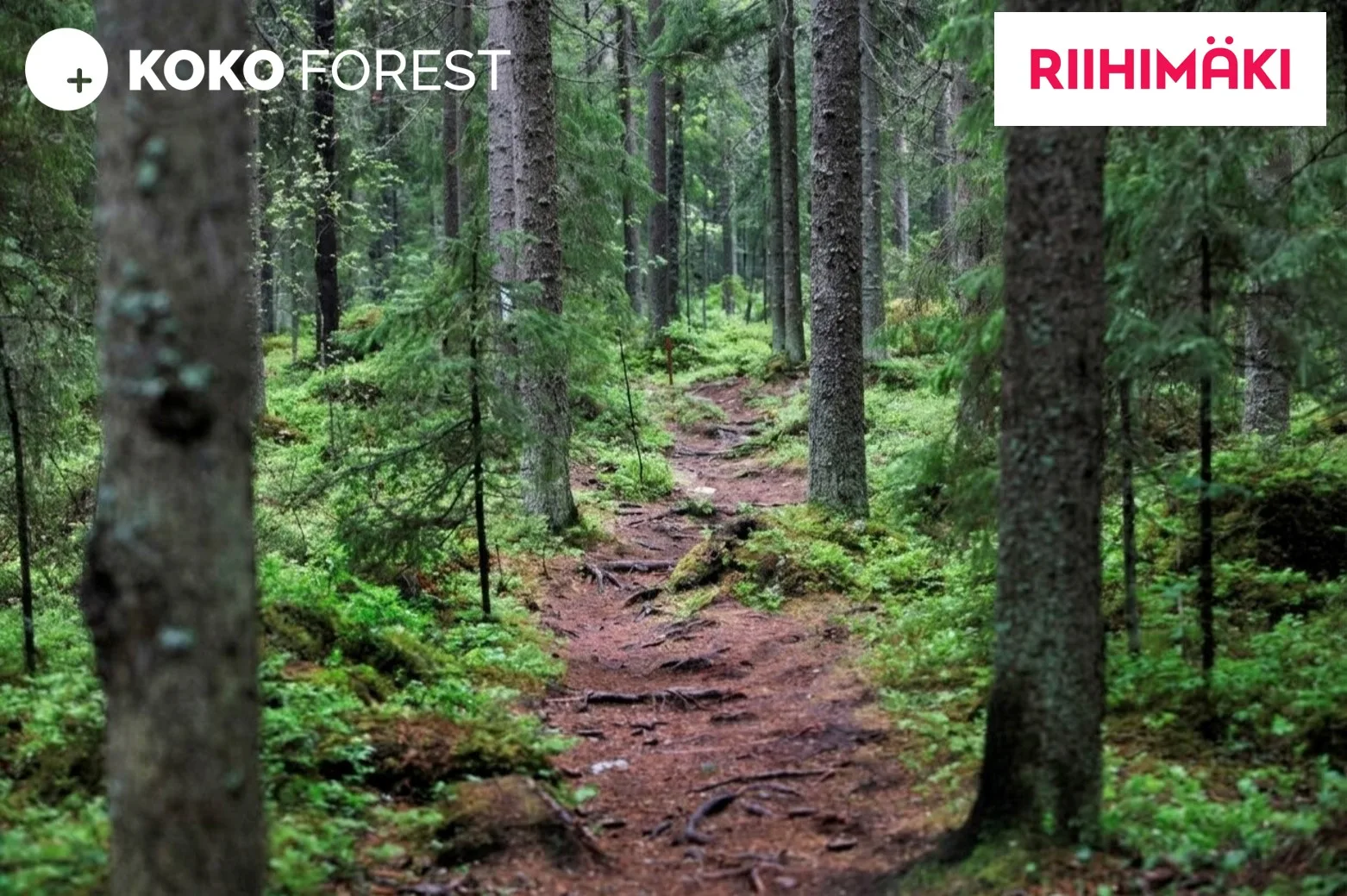
“I live in Riihimäki and spend my free time in the city’s forests. My favourite places are in the Vahteristo area. Through my work, I get to look at these same forests from a different perspective as we monitor their health using remote sensing. We pay particular attention to tree mortality and damage caused by the European spruce bark beetle. The city primarily uses the results for forest management planning, but the information also supports nature conservation planning. Riihimäki really does have wonderful forests!”, says Lauri Tamminen, KOKO Forest’s CEO.
Deliverables:
✓ Forest-stand-level data on the number and volume of dead trees
✓ Geospatial data supporting urban forest management planning
✓ Expert report on changes in tree mortality, their spatial distribution, and the monitoring of European spruce bark beetle damage